Theo Baumann · 4 September 2026
Satellite Imagery Assists in Monitoring Changes to Local Ecosystem Dynamics
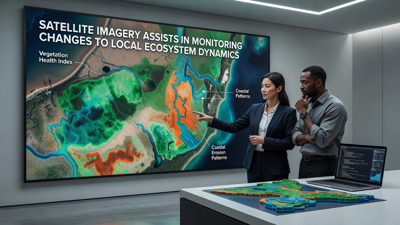
Researchers rely on satellite imagery to track shifts in local ecosystems with precision that ground surveys alone cannot achieve, and data streams from multiple orbital platforms have expanded steadily since the early 2000s. Instruments aboard satellites such as Landsat and Sentinel series capture multispectral readings that reveal alterations in vegetation density, water bodies, and soil exposure across seasons and years.
Core Technologies Behind Ecosystem Tracking
Optical sensors record reflected light across visible and infrared bands, while radar systems penetrate cloud cover to measure surface structure; together these tools generate time-series maps that show forest loss, wetland expansion, or grassland conversion at resolutions down to 10 meters. In September 2026 new composite datasets released by international agencies highlighted incremental canopy thinning in several temperate zones, confirming patterns first flagged by earlier orbital passes.
Processing pipelines now incorporate machine-learning classifiers that distinguish crop types from native vegetation and flag invasive species spread without requiring extensive field validation teams. Those classifiers draw on training sets compiled from decades of archived imagery, allowing rapid comparison of current conditions against historical baselines established in the 1990s.
Regional Case Applications
Local authorities in North America have integrated Sentinel-2 imagery into annual habitat reports that quantify riparian buffer changes along river corridors, and similar programs in Australia use the same data layers to monitor post-fire recovery trajectories in eucalyptus woodlands. European Union member states apply Copernicus programme outputs to verify compliance with habitat directives, producing quarterly updates that feed into biodiversity action plans.
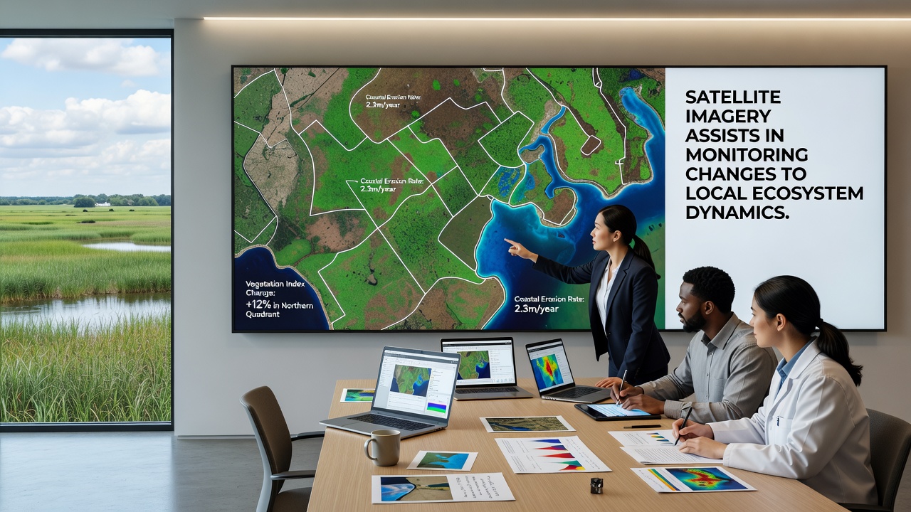
One documented workflow in Canadian boreal forests combined Landsat thermal bands with ground temperature records to map permafrost thaw extent, revealing a 4 percent increase in active layer depth between 2018 and 2025 across monitored transects. Parallel efforts in New Zealand employed high-resolution PlanetScope constellations to detect subtle browning trends in alpine tussock grasslands linked to prolonged drought sequences.
Data Integration and Validation Practices
Scientists fuse satellite observations with lidar point clouds and drone orthomosaics to produce three-dimensional habitat models that support species distribution forecasts, and validation campaigns continue to calibrate automated outputs against field measurements collected at permanent plot networks. According to NASA Earth Observatory archives, global forest cover declined by roughly 10 percent between 2000 and 2020, with the steepest rates recorded in tropical and subtropical biomes.
Public data portals now distribute processed indices such as the Normalized Difference Vegetation Index and Enhanced Vegetation Index at near-real-time intervals, enabling municipal planners to adjust conservation zoning before irreversible thresholds are crossed. European Space Agency records indicate that Sentinel-1 radar acquisitions have documented a measurable rise in surface water extent within certain Arctic catchments during the same period, driven by increased meltwater retention.
Future Outlook for Continuous Monitoring
Upcoming satellite launches scheduled through 2028 will add hyperspectral capabilities that resolve plant species composition at finer spectral granularity, and planned constellations aim to reduce revisit times below daily intervals for priority regions. These enhancements will tighten the feedback loop between orbital detection and on-the-ground intervention programs already operating in multiple jurisdictions.
Conclusion
Satellite-derived metrics continue to supply the quantitative backbone for ecosystem management decisions worldwide, supplying consistent, repeatable observations that complement traditional field methods. As sensor suites and analytical frameworks advance, the spatial and temporal resolution of change detection improves, supporting evidence-based policies that address habitat fragmentation, climate-driven shifts, and restoration outcomes across diverse landscapes.