Anna Friedrich · 30 October 2026
Ridge Bedrock Variations Reshape How Planners Approach Underground Utility Placements Nearby
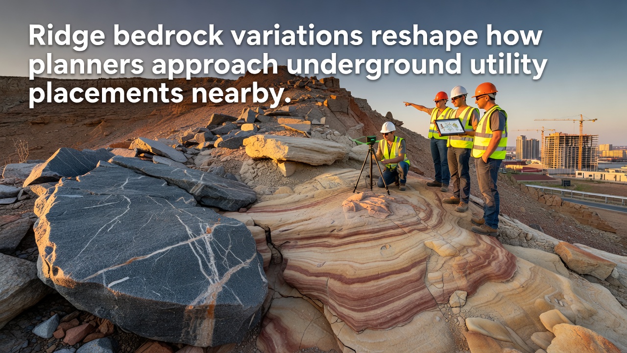
Bedrock variations across ridge landscapes create distinct challenges for underground utility installations because different rock formations exhibit unique hardness, fracture patterns, and permeability levels that directly affect excavation methods and long-term infrastructure stability. Planners in regions with complex geology now integrate detailed subsurface mapping into every stage of project design to avoid costly delays and safety risks during trenching or boring operations.
Understanding Local Bedrock Composition
Surveys conducted in ridge environments reveal that granite, limestone, and metamorphic schist can appear within short distances along the same slope, and each type requires specialized equipment and techniques for utility placement. Granite resists standard drilling yet fractures unpredictably under pressure, while limestone often contains solution channels that allow groundwater infiltration around buried pipes. Researchers at institutions studying similar terrains note that these transitions occur over tens of meters rather than kilometers, which means route selection must account for abrupt changes in material properties.
Data collected through seismic refraction and electrical resistivity tomography provide planners with continuous profiles of subsurface conditions, and these profiles help determine whether open-cut excavation, horizontal directional drilling, or micro-tunneling offers the safest approach for a given segment. In October 2026 several municipal agencies plan to release updated geophysical datasets that combine LiDAR surface models with borehole logs to refine utility corridor boundaries in real time.
Shifts in Planning Protocols
Traditional straight-line routing between connection points has given way to algorithms that weigh rock strength, joint orientation, and groundwater flow together, and these models reduce the likelihood of pipe settlement or cable damage once utilities are in service. Engineers now consult regional geological databases early in the permitting process, which allows them to adjust alignments before heavy equipment arrives on site. According to records maintained by the U.S. Geological Survey, projects that incorporate such pre-construction analysis report fewer change orders related to unexpected rock conditions.
Utility companies operating near ridges have begun requiring geotechnical reports that include point-load strength tests and RQD values for every proposed trench alignment, and these requirements stem from observed failures in older installations where planners assumed uniform subsurface conditions. The shift means that design timelines extend by several weeks, yet overall construction costs decline because crews encounter fewer surprises once excavation begins.
Case Examples from Ridge Communities
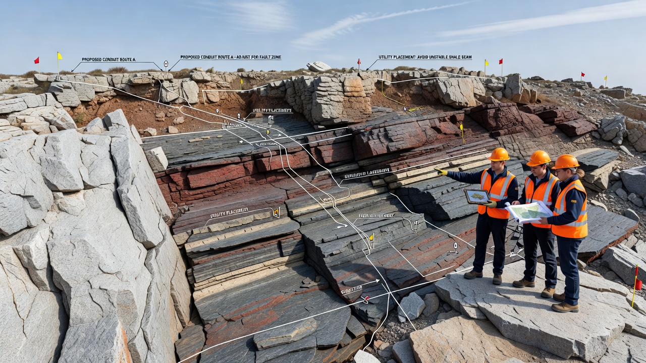
One documented project rerouted a high-pressure gas line around a concealed quartzite ridge after resistivity surveys identified a zone of low fracture density that would have required extensive blasting. The revised path followed a weathered schist band instead, and crews completed installation with standard rock saws rather than pneumatic hammers. Similar adjustments appear in water main extensions where planners avoided limestone karst features that could compromise pipe bedding and increase leak potential over time.
International comparisons show parallel developments. Geoscience Australia has published guidelines that recommend integrating bedrock discontinuity mapping into utility corridor planning for mountainous terrain, and Canadian provincial agencies have adopted comparable standards that tie permit approval to the submission of three-dimensional geological models. These approaches share a common thread: recognition that bedrock variability is not an obstacle to be overcome but a constraint that shapes feasible routes from the outset.
Technology Supporting New Practices
Advances in portable drilling rigs equipped with real-time logging sensors allow crews to verify subsurface conditions during preliminary borings, and the resulting datasets feed directly into geographic information systems used by planning departments. Software platforms now overlay utility easements with bedrock contour maps so that conflicts become visible before detailed engineering drawings are finalized. In October 2026 vendors expect to introduce updated versions of these platforms that incorporate machine-learning classifiers trained on thousands of borehole records from ridge settings worldwide.
Training programs for municipal planners have expanded to include modules on rock mechanics and geophysical interpretation, and professional organizations host workshops that demonstrate how small variations in joint spacing can alter the economic viability of an entire utility segment. These educational efforts ensure that decision makers understand the physical reasons behind route modifications rather than treating them as arbitrary constraints.
Conclusion
Bedrock variations across ridge systems continue to drive measurable changes in how underground utilities are sited and installed, and the integration of high-resolution subsurface data into standard workflows represents the current baseline for responsible planning. As datasets improve and modeling tools become more accessible, agencies maintain records that demonstrate fewer utility failures attributable to unforeseen geological conditions. The pattern holds across multiple jurisdictions because the underlying physical constraints remain consistent regardless of regulatory environment.